GEO Koordinate (geo-point)
Beispiel
{
    "application": "Tutorial",
    "label": "API9 / geo-point",
    "project": "NeuroomNet-CMS Tutorial",

    "fields": {

        "place": {
            "type": "string",
            "empty": false,
            "cms": {
                "column": true,
                "label": "City"
            }
        },

        "gps": {
            "type": "geo-point",
            "optional": true,
            "cms": {
                "column": true,
                "label": "Coordinates"
            }
        }

    },
    "hideId": true,
    "tags": []
}
curl -X POST -H "Content-Type: application/json" --user "<myuser>":"<mypassword>" -d @CreateApi9.json https://<url>/schema/tutorial/api9
Erklärung
Es wird die Angabe einer einzelnen GPS Koordinate (Point) unterstützt:
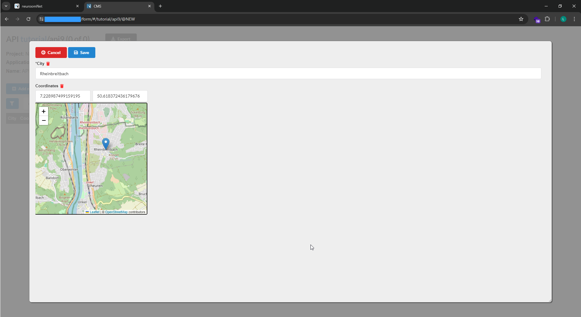
Intern erfolgt die Ablage einer einzelnen GEO Koordinate in einem Feld von Längengrad und Breitengrad. Für die Kommunikation wird eine etwas erweiterte Darstellung einsetzt, in der zukünftig auch Platz für Bereiche oder beliebige Umrisse ist:
{
    "type": "Point",
    "coordinates": [7.25331, 50.69547]
}
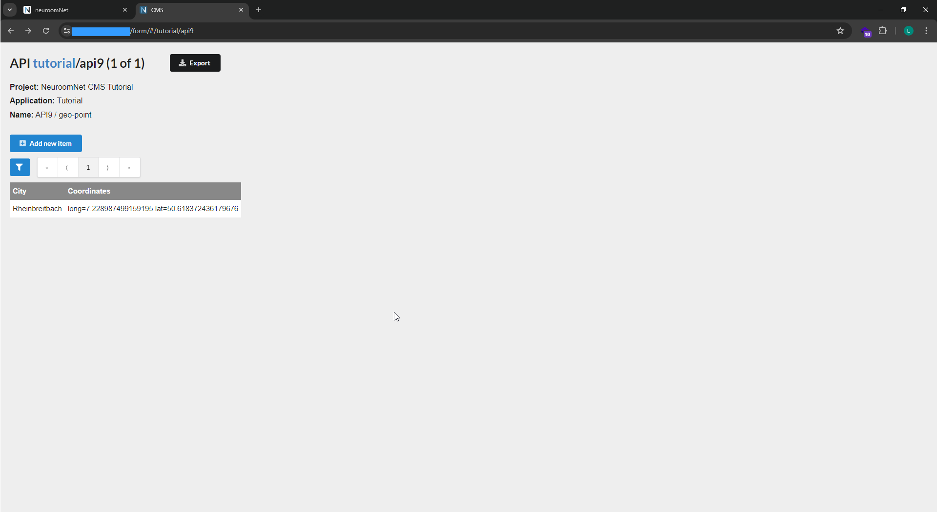
In der Tabellenansicht der Ergebnisliste werden aktuell einfach nur die GPS Werte angezeigt: